Indoor Localization and Mapping: Towards Tracking Resilience Through a Multi-SLAM Approach
Abstract
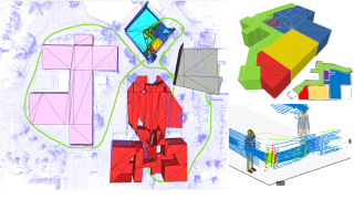
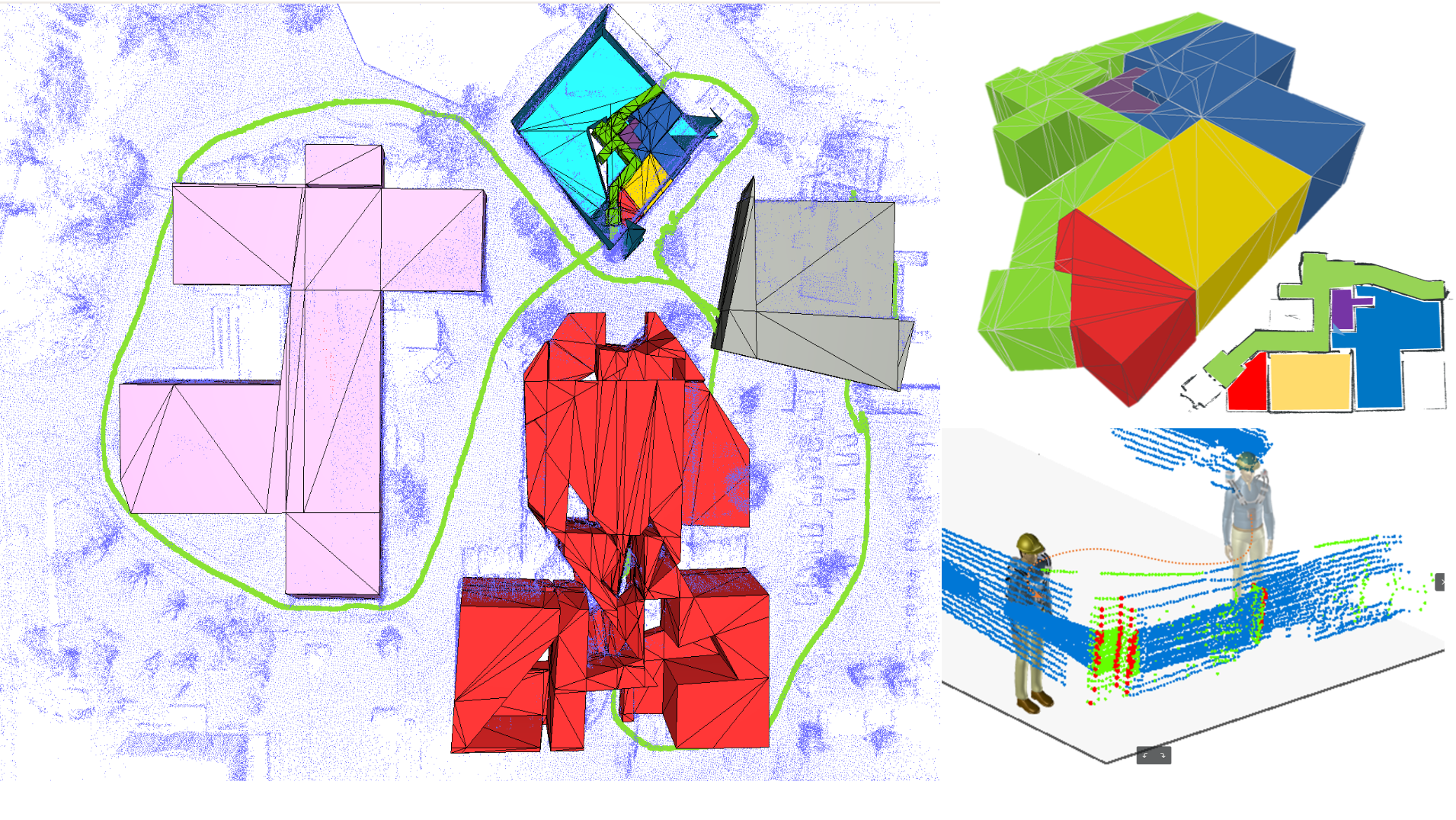
This paper presents a use case for SLAM techniques applied to real time localization and detailed mapping for emergency response personnel in non cooperative environments. Such environments tend to defeat conventional localization approaches, therefore we must ensure continuous operation of our localization and mapping regardless of the difficulties encountered (lack of GPS signals, lighting conditions, smoke, etc.). The proposed system fuses two SLAM algorithms, a LiDAR-based and a camera-based. Since LiDAR-based SLAM uses dense 3D measurements, it is well suited to the construction of a detailed map, while the visual SLAM allows to quickly recognize already visited places in order to apply loop closure corrections, by using a key frames graph. The currently proposed system allows collaboration between these two SLAMs through pose sharing and relocalization.
Fichier principal
 MED20_0192_Final_submission.pdf (3.56 Mo)
Télécharger le fichier
MED20_0192_Final_submission.pdf (3.56 Mo)
Télécharger le fichier
 Screenshot from 2020-05-18 15.20.13.png (1.71 Mo)
Télécharger le fichier
Screenshot from 2020-05-18 15.20.13.png (1.71 Mo)
Télécharger le fichier
Origin : Files produced by the author(s)
Format : Figure, Image
Loading...